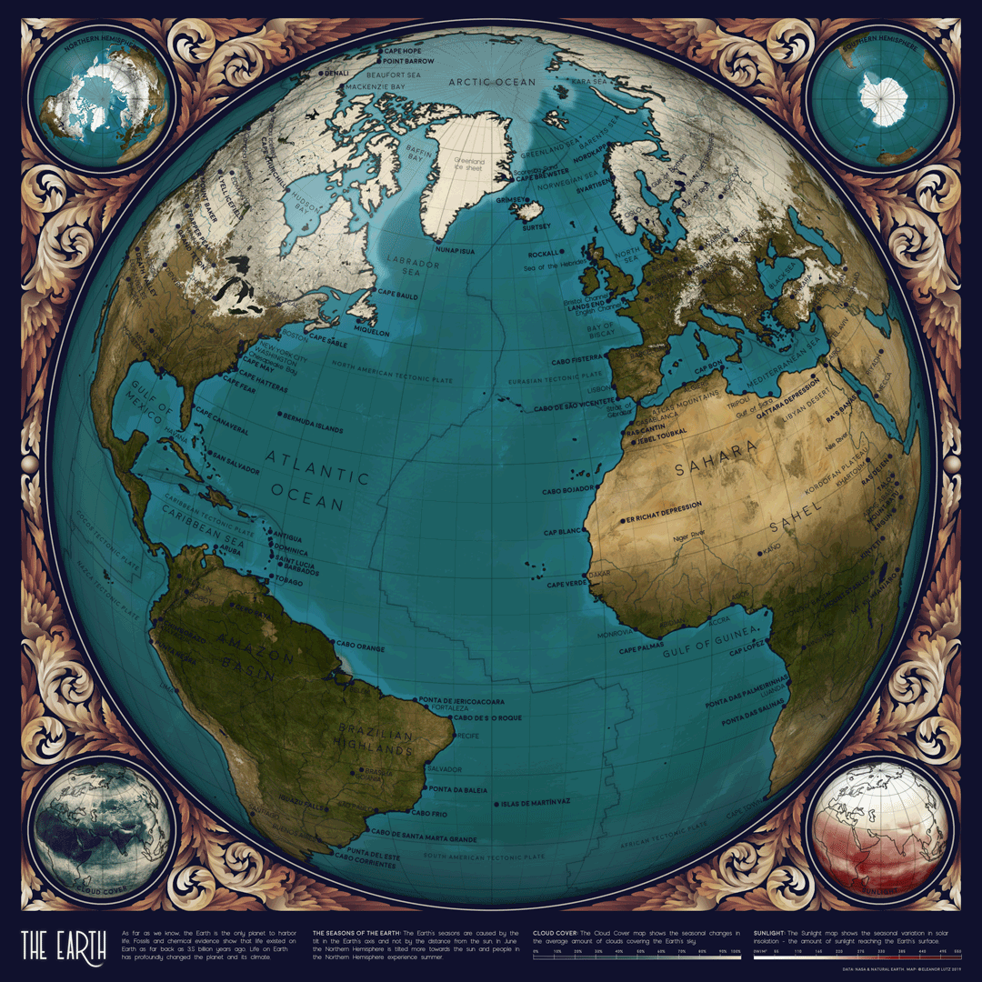
This animation focuses mainly on data about Arctic sea ice and vegetation.
The animation is a combination of NASA’s Earth datasets which are published monthly and this GIF uses one frame per month to show the fluctuating seasons.

The NASA Earth Observations website includes data on seasonal fire incidence (1), vegetation (2), solar insolation, or the amount of sunlight (3), cloud fraction (4), North Pole ice sheet coverage (5), and processed satellite images (6). My own map (7) combines the ice sheet data and the Blue Marble satellite images. The NEO database also has many more interesting datasets not shown here, like rainfallchlorophyll concentration, or Carbon Monoxide.

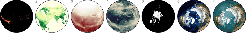
Infographic and source credits via TableTopWhale